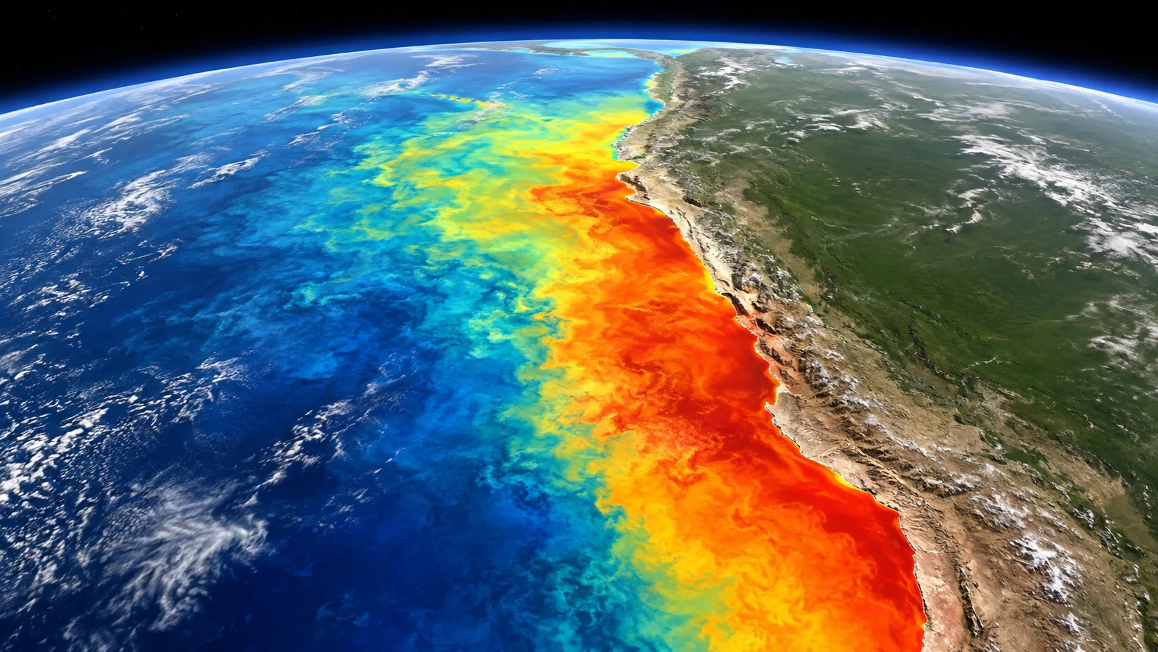
What every surfer in Peru has been feeling in the water for weeks is now official: the ocean is far warmer than it should be in the middle of winter. ENFEN Official Statement N° 13-2026 (July 17) upgraded the Coastal El Niño from moderate to strong, and IMARPE monitoring in early August shows anomalies exceeding +6 °C between Chicama and Callao. This is the fourth installment of our El Niño 2026 series, and it brings the strongest signals of the year.
From moderate to strong, with summer in sight
Back in June, the ENFEN commission kept the event at moderate. The July statement changed the picture:
- The most likely scenario is that the Coastal El Niño continues at strong magnitude over the coming months.
- An extraordinary magnitude by late 2026 cannot be ruled out, the same category as the 1982-83, 1997-98 and 2017 events.
- The alert condition now extends through April 2027 (previously February).
- For the summer, ENFEN estimates a 38% chance of a strong event and 33% of an extraordinary one. Neutral or La Niña scenarios sit at 0%.
The global side adds to it: NOAA keeps its "El Niño Advisory" active, and its July diagnostic discussion gives a 97% chance that the global El Niño persists into early 2027 and an 81% chance it reaches "very strong" between October and December, which would place it among the most intense events on record since 1950. Peru faces something unusual: a Coastal El Niño and a global El Niño strengthening at the same time.
The water, in numbers: 24 °C in Paita in the middle of July
IMARPE reports anomalies above +2 °C along the entire coast, with cores that reached +5.3 °C in mid July and now exceed +6 °C off the central coast in early August. In absolute terms, coastal stations logged these readings in late July:
- Paita: 24 °C (about 6 °C above normal)
- Chimbote: 22.3 °C (+2.9 °C)
- Callao: 20.9 °C (+4 °C)
- San Juan de Marcona: 17.4 °C (+2.6 °C)
- Ilo: 18.6 °C (+2.8 °C)
The warming is not just at the surface: IMARPE profiles detect +4 to +6 °C cores at around 50 meters depth off Paita, Callao and Pisco, with the anomaly reaching down to 150 meters.
What it means for your surf sessions
Winter neoprene is on hold. With Callao at 21 °C, Lima is surfable in a springsuit or even just a rashguard for short midday sessions, unthinkable in a normal 15-16 °C July. Up north, with 23-24 °C water, a wetsuit is simply unnecessary. Water temperature and gear recommendations are updated on every spot page on WaveSearch.
South swells keep coming. Winter is not cancelled: the southwest groundswell season remains active. In the first week of July an anomalous swell closed almost 40 ports, and in late July another episode forced the closure of Talara bay, to the point that Petroperu temporarily halted its refinery. The Peruvian Navy (DHN) keeps issuing special advisories; if you plan to surf exposed points or travel north or south, check the status of the nearest port before heading out.
Watch the ecosystem shift. Warm water is pulling oceanic and equatorial species toward the coast: mahi mahi, tuna, skipjack, sierra and even sharks are being recorded closer to shore, while anchoveta retreats and moves deeper. None of this poses a direct risk to surfers, but it is a reminder that the ocean is running in unusual mode.
A winter of heat records
The effect is also felt out of the water. On July 29, Piura hit 33.5 °C, a historical record for the month, and Lima-Callao reached 25.6 °C, about 6.5 °C above its winter average. SENAMHI even issued an extreme level heat advisory for the northern coast with highs of 30 to 36 °C. Similar values are expected for August and September: a "winter" that will feel like an early spring along much of the coast.
Will 2017 repeat? What the data says, without alarmism
The inevitable question. The honest answer: nobody knows yet. What is verifiable today is that ENFEN assigns a 33% probability to an extraordinary event this summer, and that heavy rains in the north depend on the coastal anomaly staying high between December and March. Northern reservoirs are already nearly full (Poechos at 99.9%, San Lorenzo at 99.8%), so water management will be a key issue if the wet scenario materializes. The next ENFEN statement is due August 14 and we will update this series with whatever it brings.
Practical recommendations
- Check your spot's forecast and water temperature on WaveSearch before paddling out; with the ocean in El Niño mode, conditions change fast.
- Follow DHN anomalous swell advisories, especially if you surf near port areas or plan trips.
- Enjoy the warm water wisely: more people in the water means keeping order in the lineup, especially at crowded peaks like La Pampilla or San Bartolo.
- If you travel north, tropical style conditions arrived early: serious sun protection, hydration and attention to currents.
This note continues our El Niño 2026 coverage (February, April and June). Sources: ENFEN Statement N° 13-2026, IMARPE, NOAA CPC (ENSO Diagnostic Discussion, Jul 9, 2026), SENAMHI, DHN and press reports from Infobae, El Peruano and RPP, verified as of August 2, 2026.